Posts

Showing posts with the label ghost towns

The Dodge City Montezuma & Trinidad Railway

Image
The Dodge City Montezuma & Trinidad Railway was a short-lived railroad operating between Dodge City and Montezuma, KS. ( Right of Way )  Looking at a modern rail map of southwest Kansas, one might reasonably assume that Dodge City and Montezuma have always been connected by the same railroad. After all, the two towns remain linked by rail today.  Photo: City of Montezuma, KS But this apparent continuity hides a short-lived and politically motivated predecessor: the Dodge City, Montezuma & Trinidad Railway; a railroad whose entire existence was born out of a county seat dispute and whose abandonment reshaped the geography of Gray County. Original alignment. The Montezuma we know today was not the original town to bear that name. The present-day community was platted by the Atchison, Topeka & Santa Fe Railway in 1912, nearly twenty years after the first Montezuma had already faded into obscurity. That original town, now a ghost town, briefly flourished thanks ...

Wolf Road Prairie: An Abandoned Housing Development Turned Forest Preserve

Image
Wolf Road Prairie is located on the northwest corner of Wolf Road and 31st St in Westchester, IL, and like many of the forest preserves in the Chicago area, there is more to this place than initially meets the eye. It is not very large at just over .1 square miles,  but has an extensive mix of prairie, savanna and wetland and is home to more than 360 native plant species.  (Cook County Forest Preserve) Surrounded by development which is obstructed by fog in this photo, this is a hidden gem of the area. It also has sidewalks that enter the woods. Why would the Cook County Forest Preserve destroy prairie land just to make it easier to walk? The answer is they didn't. The sidewalks hold the clue to what this area was supposed to be; another housing development.  I visited this area in December of 2020, and what was initially a very quiet snow year, that somehow managed to snow during my visit. But that made the pictures I took that much better, I think, as it really expresse...

The Indiana Division or Coal Branch of the Chicago, Danville and Vincennes Railroad

Image
One of the reasons for mapping abandoned rail lines is for my own reference: and after doing this for over 8 years now, it's extremely interesting to go back towards some of my earlier work that I've completely forgotten about and try to figure out how I was able to find some of these lines.  Such is the case of the Fountain County Branch of the Chicago & Eastern Illinois Railway, in which the last 15 miles of track were abandoned all the way in 1879. It was referred to as both the Fountain County Branch as well as the Indiana Division, or the Coal Branch in the  preliminary history of the C&E , which can get confusing. However the Coal Branch name comes from the predecessor road of the C&EI, the Chicago Danville & Vincennes , who opened the line in 1873. The C&EI itself would not exist until 1877. The portion of the Fountain County Branch in its eponymous county. (1876 Map, Indiana Historical Society) The Chicago & Eastern Illinois Railway (C&EI) ...

From Freedmen, For Freedmen: The Ghost Town of Nicodemus, Kansas

Image
Nestled amidst the vast Kansas prairie, Nicodemus stands as a haunting testament to the dreams and struggles of African Americans seeking freedom and prosperity in the late 19th century. Established in 1877, this small town was founded by a group of ex-slaves and became a symbol of hope and self-determination.  Today, Nicodemus is a ghost town , with a population of just 14 people according to the 2020 US Census . In today's blog, we will delve into the rich history of Nicodemus and explore the factors that led to its eventual decline. The townspeople of Nicodemus  with "1st Stone Church" labeled by hand. Library of Congress. The town of Nicodemus was born during the Reconstruction era, a period when African Americans sought to build new lives for themselves in the aftermath of slavery during the period of Reconstruction after the Civil War. A group of settlers, known as the Nicodemus Town Company, purchased land in Graham County, Kansas, with the vision of creating a s...

Bagdad: A California Desert Ghost Town

Image
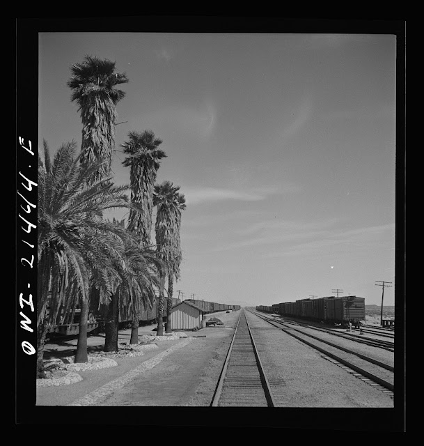
Bagdad, CA is another Route 66 ghost town  in San Bernardino County, CA. A product of the railroad, it would ultimately be superseded by Interstate 40, when 66 no longer functioned as a through route. However, this is not a tale of a town destroyed by a freeway or re-alignment, as this town peaked long before I-40 was built, the bypass was just another nail in the coffin. Like many nearby towns, it got its start in 1883 when the Atchison Topeka & Santa Fe Railway was built between Needles and Barstow, CA. During this time, it served as a stop for mining workers north and south of the area. Even at its peak, only a few hundred people called the town home. Towns built by the railroad usually were platted in 10 mile increments to allow steam engines to take on water, supplied by about 20 tank cars a day to replenish tanks in the area, which otherwise is completely dry being in the middle of the Mojave Desert.  The town is actually the US record holder for consecutive ...

The Wabash Moved On - And Now Ritchie's Gone

Image
In far southern Will County, IL, the Wabash Railroad once connected Chicago to downstate Gibson City, IL, passing through the small town of Ritchie .  Ritchie was a flag stop, meaning that passing trains stopped only if a flag indicated passengers were waiting at the station. The line was chosen and completed by the  Chicago & Strawn Railroad in 1880,  despite the fact that the Decatur & State Line Railway was graded, but never built, save for a few bridge piers in the river about five miles east.  It became part of the Wabash (or more specifically the Wabash St. Louis & Pacific) upon completion, known as the Forrest District . Situated on the Kankakee River , this alignment caused numerous derailments as a result of the curvature of the road; as such, the Wabash straightened the tracks north of the river just after 1900. This was not without at least some controversy, as the Ritchie station thrived when "a lot of people came from Chicago to go to Wesle...

All Roads Lead to Normantown

Image
Growing up in northern Will County, I noticed there was both a north-south and east-west road named Normantown, except that they didn't meet or intersect in any appreciable way, as far as I could tell at least.  After doing a bit of research, I'd discovered that Normantown was a stop on the EJ&E Aurora Branch , and was located at the junction between the Aurora Branch and the mainline, and that these two roads sort of met, as the N-S Normantown Road ran through the area, while once could easily trace 127th Street to the present-day E-W road. I find this fascinating because I can not think of an example where two other unrelated roads are named for such an obscure area, so that's what we're going to explore today. 1962 USGS Normantown Map Normantown is still shown on some maps, but apparently was never more than a stop on the line , and never developed into a village. Today, the area is part of the Village of Plainfield , although some properties are unincorporated. ...

Up in Smoke: The Vanished Village of Pascalis, Quebec

Image
Guest blogger Alain Bernier has provided us with more history in his area of expertise in Northern Quebec, this time with a mining village that was known as Pascalis, which was sadly almost entirely destroyed in a 1944 forest fire. Hope you enjoy today's blog as always! Pascalis QC : A village gone up in smoke © Alain Bernier 2021  The discovery of gold in the 1910’s along the Cadillac mineralized fault in the Abitibi region of  the province of Quebec, Canada, drew thousands of people to the then unpopulated area straddling the Cadillac mineralized fault. In the 1920’s and 1930’s, settlements, hamlets, and villages were popping up all along the mineralized fault wherever gold was found.  The Pascalis township was such a place. The area was rich in gold deposits and soon 4 mines were in operation: Beaufor, Vicour, Cournor and Perron-Pascalis. A village of squatters named Perron developed and housed the miners.   The Beaufor Mine near Pascalis, 1927 The Vicour Min...